Landsat
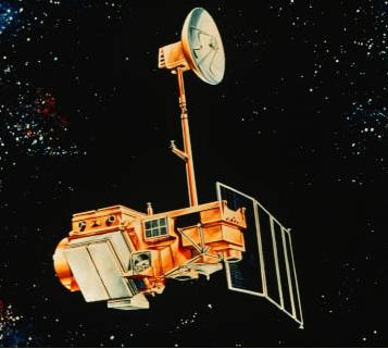
Landsat-5
Source: http://www.nasa.gov, access on 31st, Oct. 2011
Source: http://science.hq.nasa.gov, access on 31st, Oct. 2011 Landsat satellites collect data in the visible (30m), panchromatic (15m), mid-infrared (30m) and thermal infrared (60 to 120m) regions of the electromagnetic spectrum. These data have an approximately 16 day repeat cycle with a 10:00am equator crossing time. This data is particularly valuable for land cover and vegetation parameter mapping. Due to an instrument malfunction onboard Landsat 7 in May 2003, the Enhanced Thematic Mapper Plus (ETM+) is now only able to provide useful image data within the central ~20km of the swath. As Landsat 5 Thematic Mapper is still in operation, it is being increasingly relied upon. The approximate scene size is 170 × 183km. The Landsat coverage for the Murrumbidgee Catchment is summarised below. While there is no budget allocation for purchasing Landsat data, it is useful to keep these overpasses in mind for future reference. Landsat data can be downloaded from NASA.
Mission
Landsat
Sensor
TM & MSS (MSS) was turned off in
Aug. 1995Spacecraft
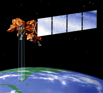
Landsat-5
Launch date
1st, Mar. 1984
Design life
minimum 3 years
Orbit
Sun-synchronous, polar orbit in altitude of 705km.Cross Equator at 9:45am ((±15min) local time (descending mode)
Spacecraft operations control centre
NASA
Channel and wavelength (micrometers)
5 bands VNIR
(0.45-1.75)
(10.40-12.50)
(2.08-2.35)
(0.52-0.90; +ETM only)Incidence angle(°)
0
Swath (km)
Spatial resolution (m)
30
Temporal resolution
Repeat coverage 16 days
Landsat overpass time
The Landsat overpass times for the SMAPEx study area have been determined from the USGS Global Visualization Viewer, and are provided in the table below. Date and time are in UTC.
●=full Landsat ○=partial Landsat coverage
●=concurrent ●=non concurrent
Date (UTC)
Landsat overpass start time (UTC)
Durations (s) Spacecraft Identifier Flight Type
05/07/2010 ●23:54 27 Landsat-7 ●Transect
06/07/2010
-
- - Regional
Multi-angle07/07/2010
-
- - Target YB
08/07/2010
-
- - Regional
Multi-angle09/07/2010
-
- - Target YA
10/07/2010
-
- - Regional
Multi-angle